| Date | 16 Aug 2026 |
| Route | Link to Route |
| Distance | 45.95km / 28.55miles |
| Ascent | 1837.94m / 6030.00ft |
| Enjoyable | |
| Difficulty | |
| Conditions | Overcast, but dry until late afternoon. |
| Summits | ✔ (T) Stob an t-Sluichd ✔ (T) Cnap a' Chleirich ✔ (M) Ben Avon - Leabaidh an Daimh Bhuidhe ✔ (T) West Meur Gorm Craig ✔ (T) East Meur Gorm Craig |
Ailidh not available this weekend, so decided to try some of the remaining tops around Ben Avon, so travelled over to Braemar the evening before and stayed at the youth hostel to get an early start.
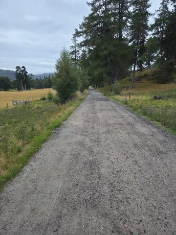
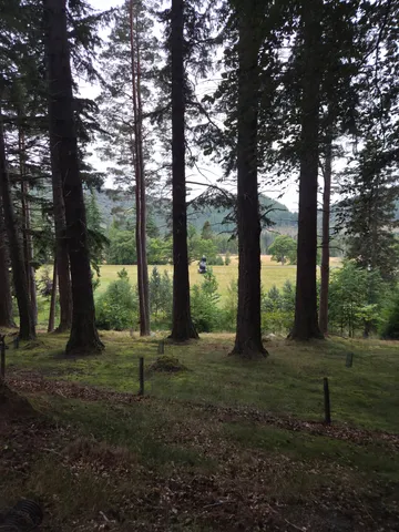
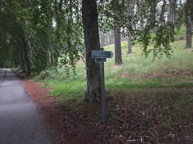
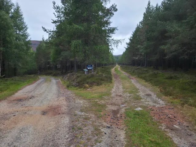
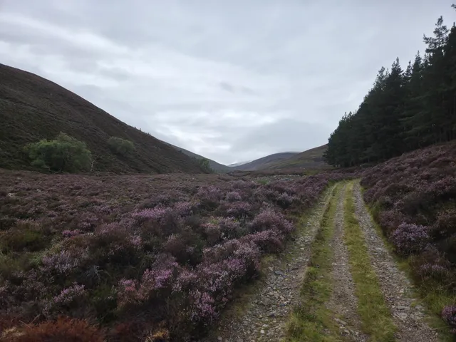
Was up around 5am and started walking from the Invercauld Estate just after 6am. Initially following the same route I took for Culdaroch Corbetts, but at the junction, kept on past Invercauld House. Around a kilometer past the main house, I took the left fork and then a right. Further on there is another fork, one way marked for the Linn of Quioch. I took the right path, which after after around another kilometer and a half or so leaves the trees behind and opened up a bit, but the track narrowed and the midges made their presence known anytime I stopped.
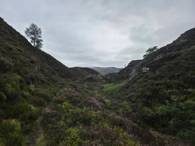
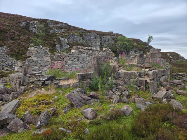
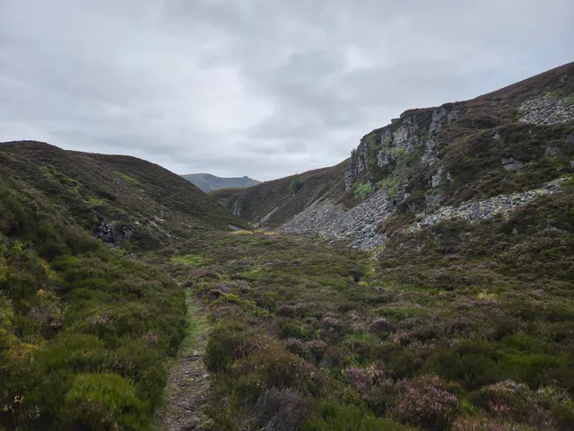
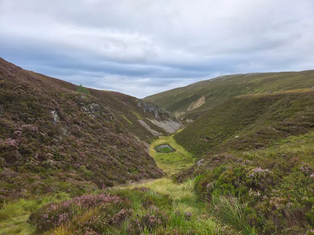
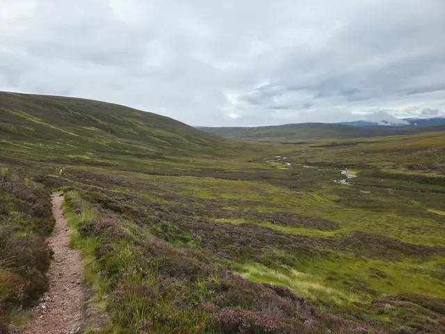
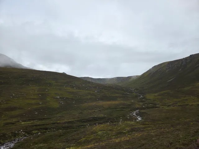
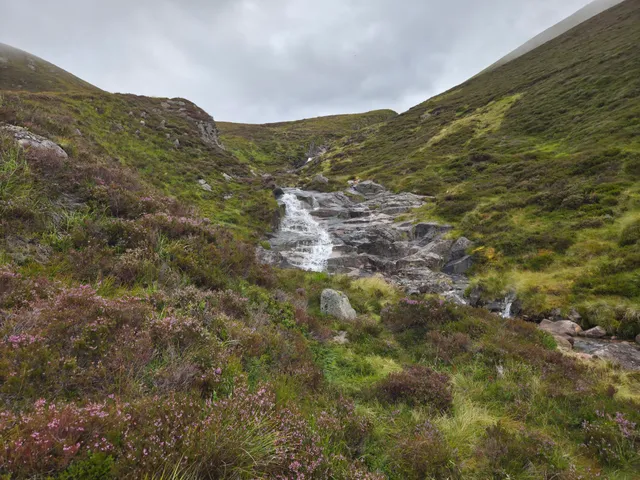
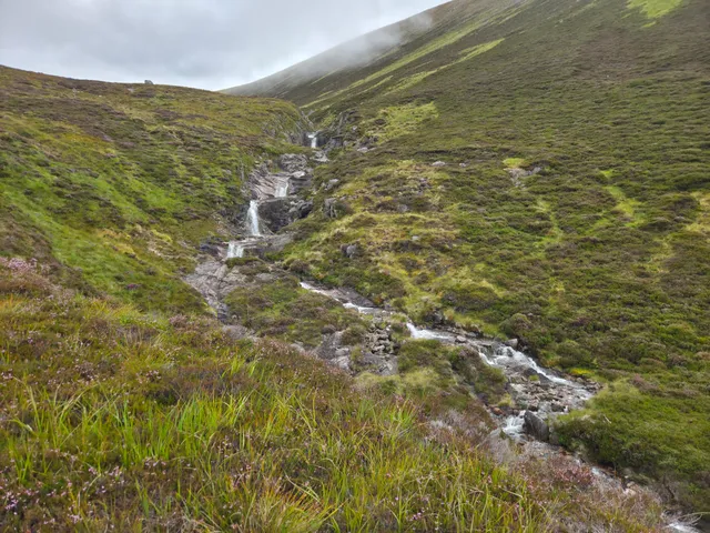
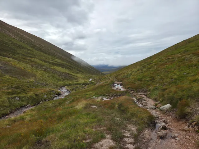
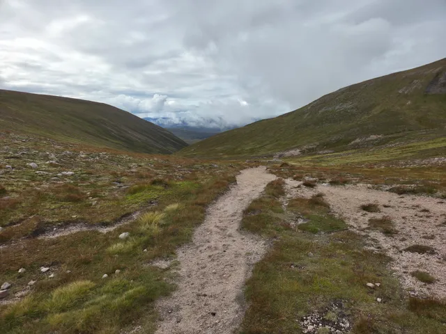
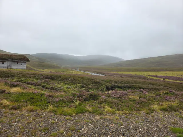
After a couple more kilometers the path forks, but not obviously so, I took the lower left hand route as per the walkhighlands guide, which follows the floor of the glen a bit more, eventually passing the ruins of Slugain Lodge. The path then starts to climb and at times is a bit narrow with a couple of steeper drop offs, but soon joins onto higher route from before.
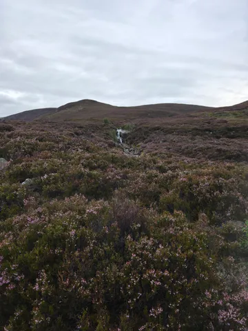
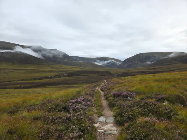
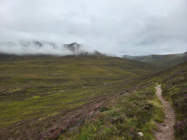
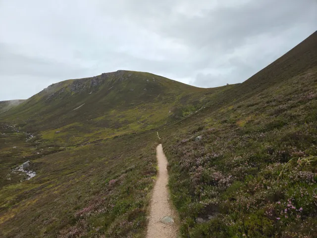
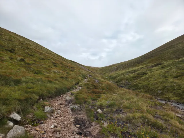
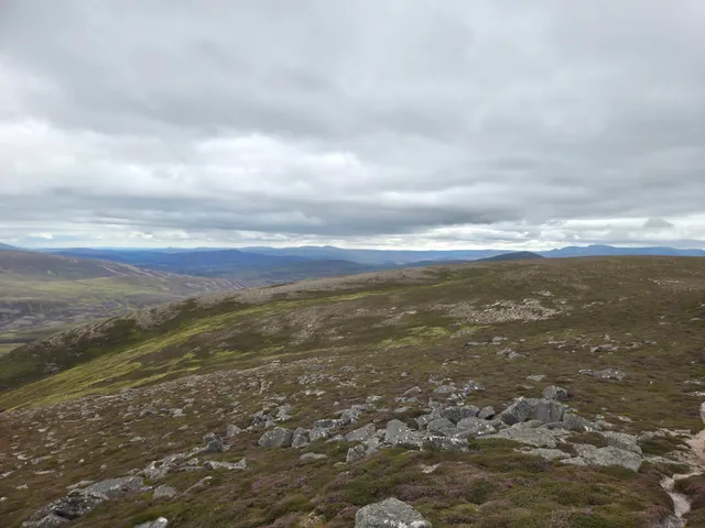
Once out the glen the path turned north and progress improved due to the much easier surface. However, once the ascent started again the path became quite muddy at times making the ascent a little harder. After what seem liked ages I finally reached the Sneck where we have camped previously. This had taken me, including stops, around 4 hours. After another short stop, I headed west up a steeper section towards the Munro Top Cnap a' Chleirich. However instead of heading over the top, I aimed more north following the top of the ridge around and then turning north towards the first target of the day
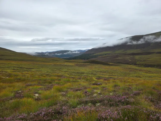
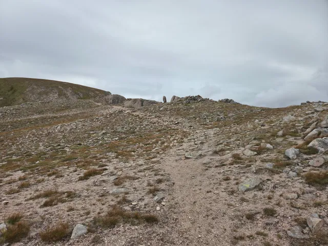
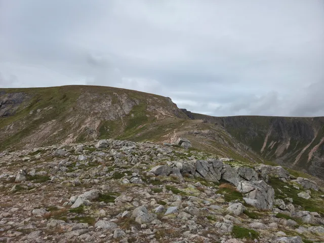
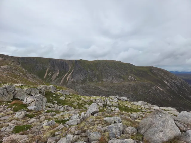
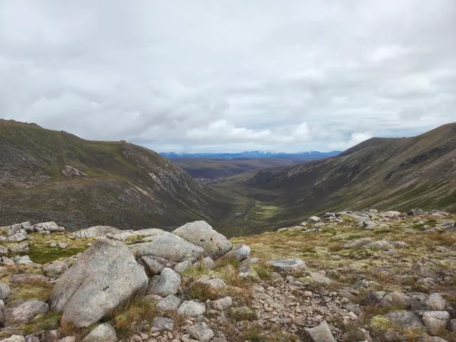
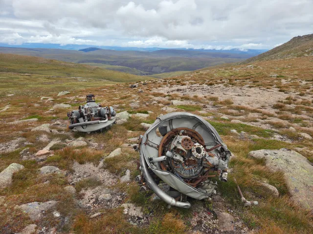
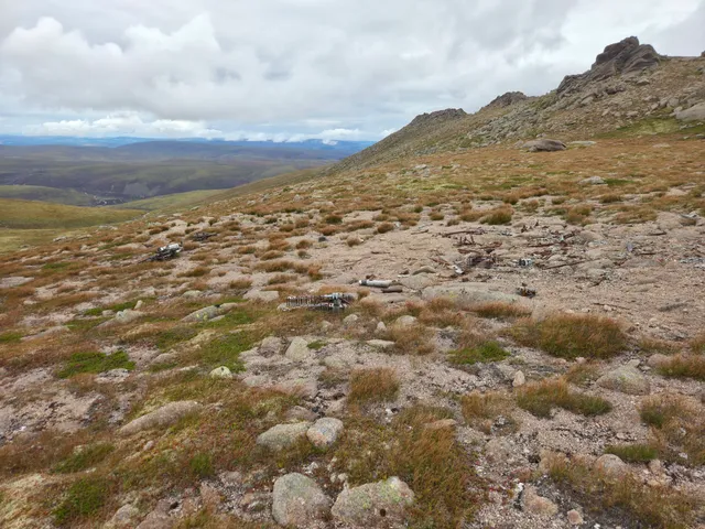
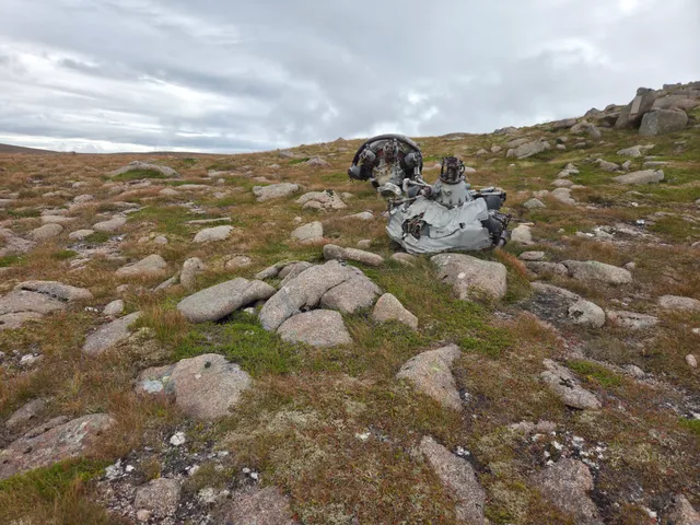
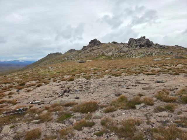
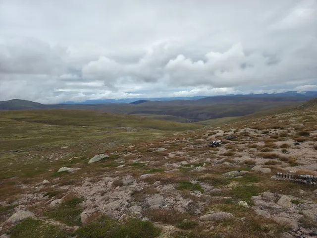
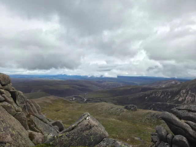
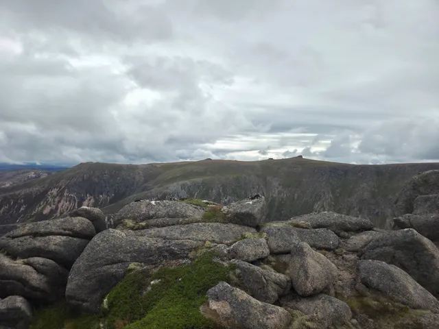
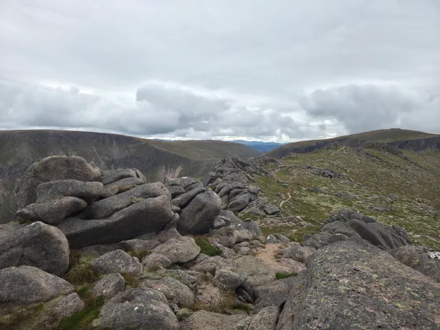
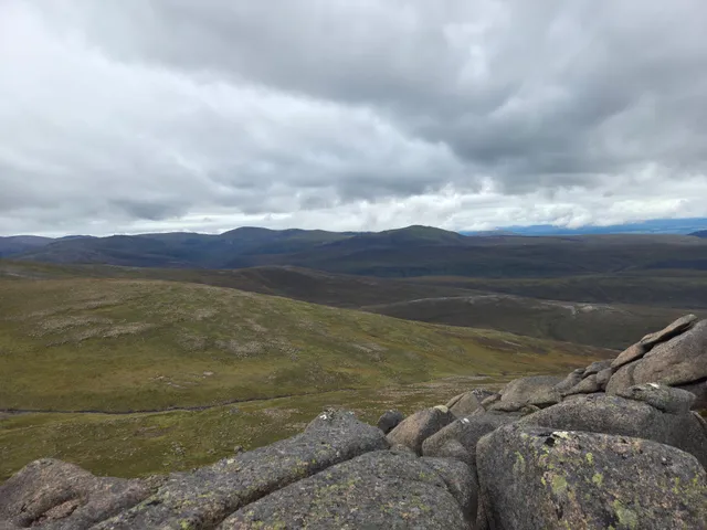
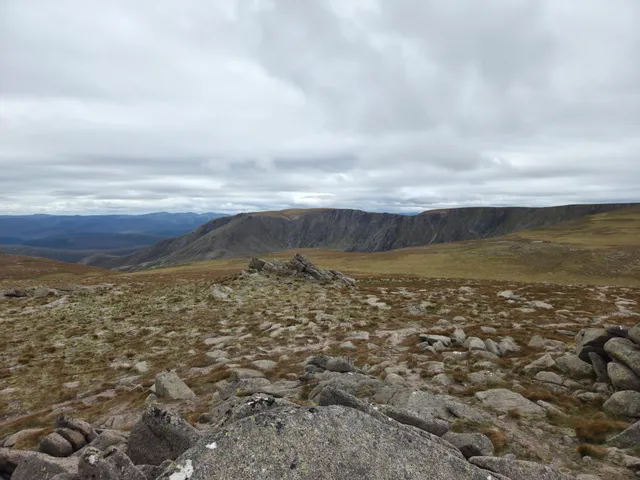
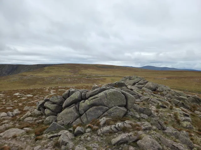
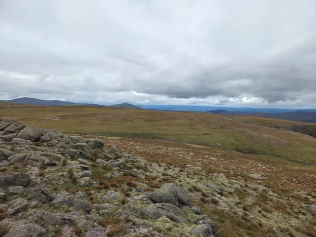
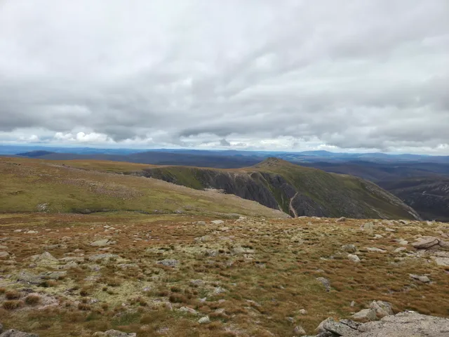
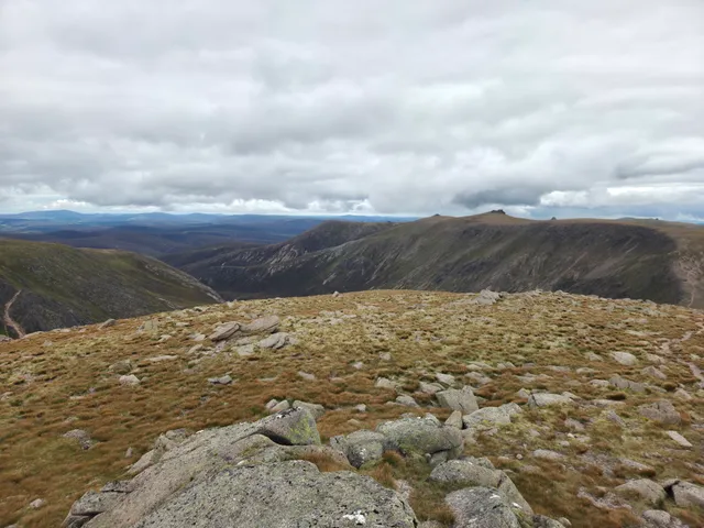
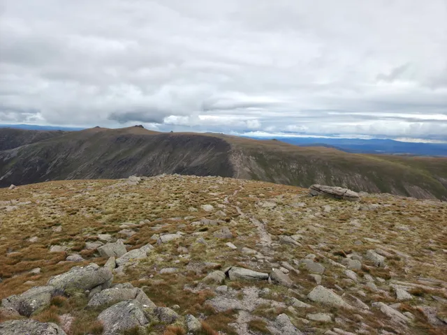
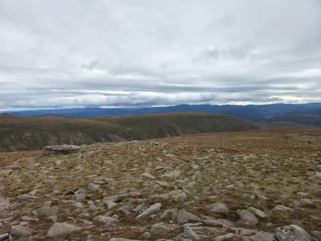
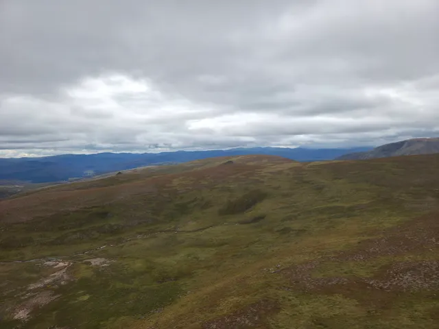
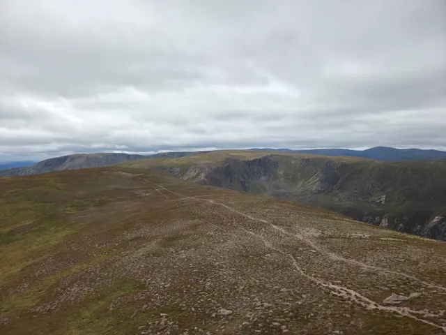
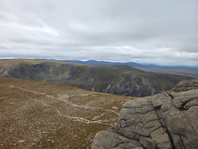
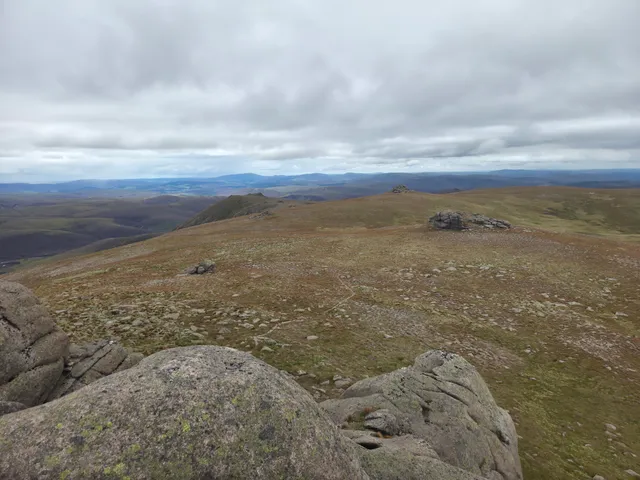
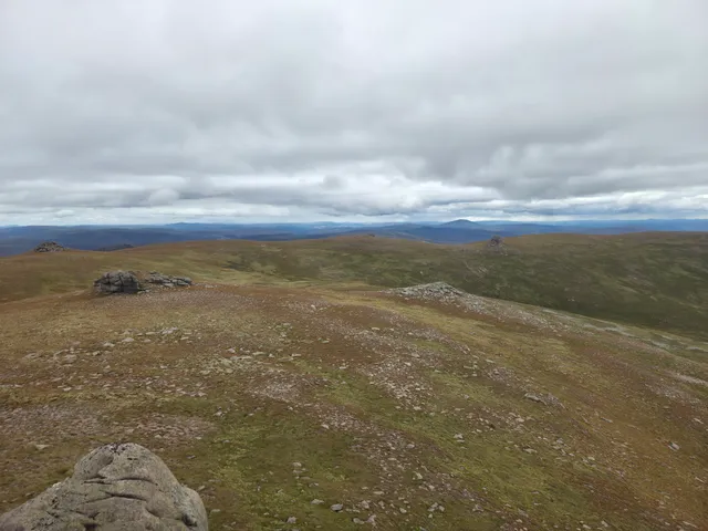
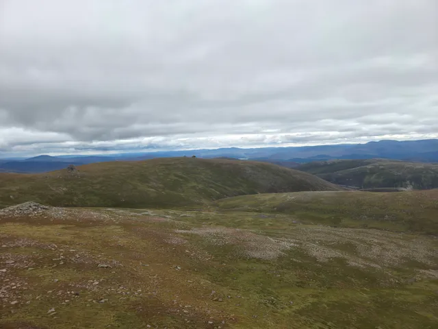
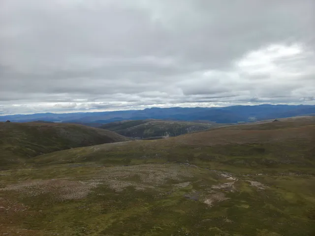
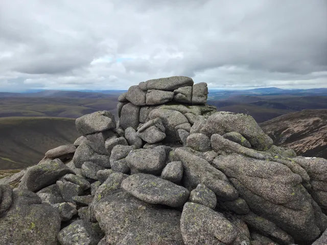
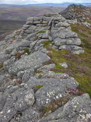
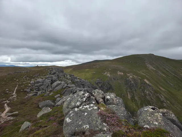
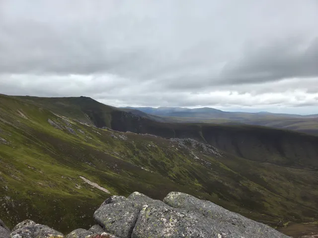
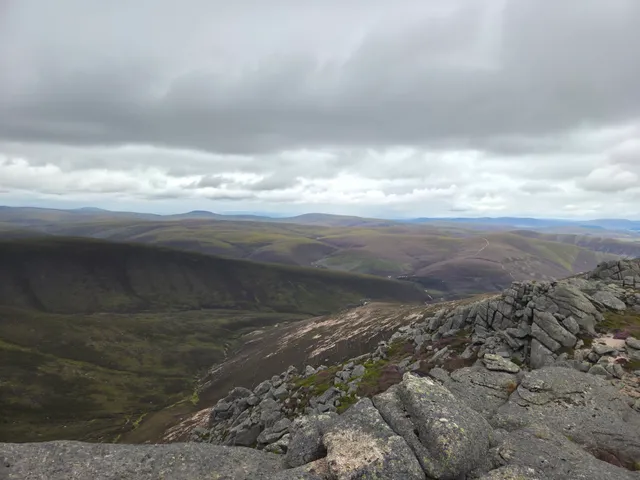
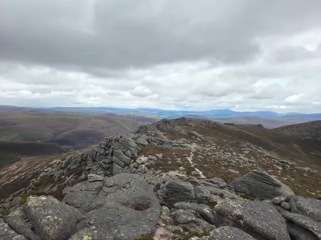
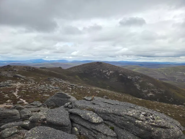
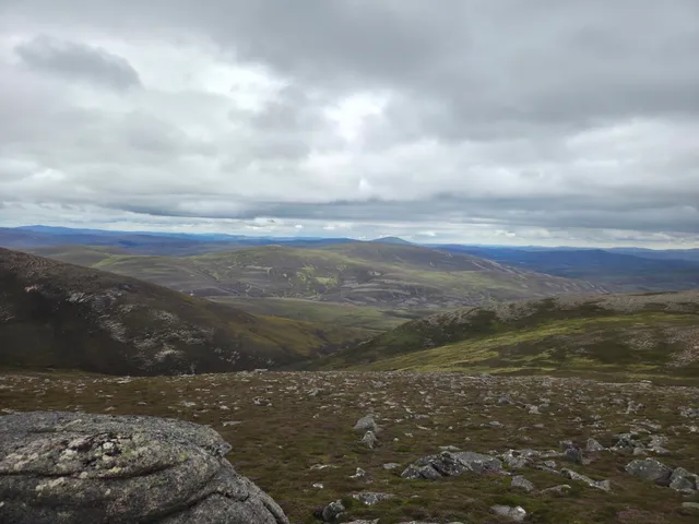
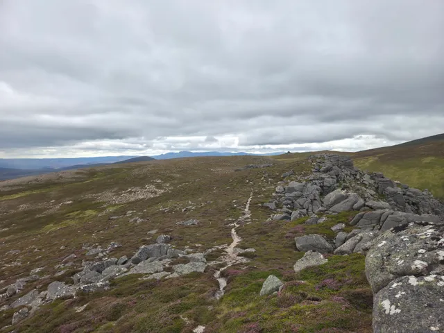
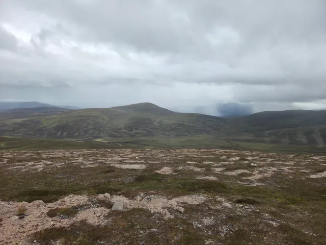
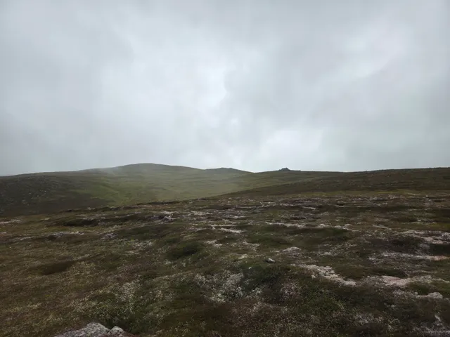
Just before the first rocky tops, there is the remains of an Airspeed Oxford airplane that crashed in 1945. The summits here are a little like the tors of Ben Avon, the first isn't the Munro Top, instead Stob an t-Sluichd is the summit another half kilometer further on. The views over to Ben Avon and all around were really good today.
Instead of retracing my steps to the Sneck, I decided to head a little more south and over the other Beinn a'Bhuird Top, Cnap a'Chleirich. This was definately a lot easier than following the ridge. Some care was needed on the steep scree path on the way down to the Sneck though.
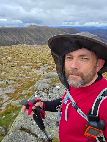
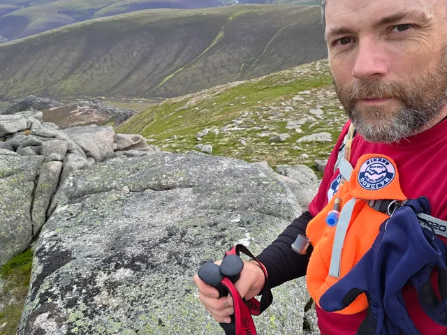
Heading up the other side I soon made my way to Ben Avon where I had lunch. Now for the outlying Ben Avon tops. Heading north east the path soon fizzled out, but I tried to keep my height where possible until Mullach Lochan nan Gabhar where there is a grassy descent, before a short ascent to the third Munro Top of the day, West Meur Gorm Craig.
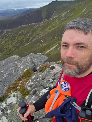
Turning east I headed down, aiming towards the obvious path heading north. Once on this path it was a short easy hike up to the last Munro Top of the day, East Meur Gorm Craig. Heading back along the path south, on past the other Top, the path at times disappeared, but was soon picked up until the base of Mullach Lochan nan Gabhar. At this point I got chatting for a while to a couple of gents making the return back to their bikes for the cycle out to Tomintoul. Once up onto Gabhar it was around 3pm.
Instead of returning the same route via the Sneck, I made the decision to try to make a circuit via Culardoch. Initially the going south east was fine, but the drop towards Carn Drochaid was pretty steep, over a mixture of grassy and heathery sections. However, lower down I found slightly better paths to the south side of Carn Drochaid, but once on the atv path some sections were very steep and slippery.
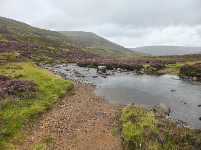
At the ford I found that the footbridge marked on the OS map a little to the north no longer exists, but the water level wasn't bad today so just nipped across, gaiters keeping my dry. It was around this point that the weather started closing in and I had some drizzly spells most of the way back.
From here it was a slow steady climb up good tracks towards Culardoch, but my tired legs did find this tough. Once at the base of Culardoch the route was now familiar to me, however I made sure of the taking the turn beside the trees closer to the estate. On my earlier trip to Culardoch we missed the turning and ended up walking at least an extra kilometer or so. It felt like a very long trudge back to the car, probably made worse with the drizzle, but it was only around 2 and half hours from the ford to the car.
Once back at the car I used the facilities to get changed and had a very welcome brew up before the long trip home.